Geospatial Analytics in Insurance Software: How It Helps P&C Carriers
Exploring the Value of Location-Based Data Intelligence in Property Casualty Insurance
Do you think property and casualty carriers can accurately assess risks without understanding where they occur? The answer reveals a fundamental challenge facing modern insurers.
Location data serves as the foundation of property and casualty insurance operations. P&C carriers face risks directly connected to specific locations, from flood-prone areas to regions with high theft rates and neighborhoods prone to wildfires. Property casualty insurance companies operate without direction when they skip analyzing this geographical context.
Software for property casualty insurance companies should comprise advanced geospatial capabilities. This enables carriers to see, assess, and respond to location-based information that shapes their business choices. Insurance companies now get immediate location insights instead of relying on broad assumptions or old maps.
Geographical intelligence significantly improves the underwriting process. Carriers create more precise pricing models by evaluating specific risk factors tied to a property's location, from nearby fire stations to ground composition.
Geospatial Analytics in Property Casualty Insurance Software: How It Modernizes Operations
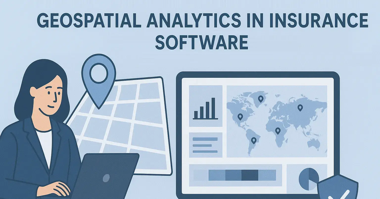
Property casualty insurance software with geospatial analytics is a specialized digital platform that combines geographical information systems with core insurance functions. These sophisticated software solutions for insurance use satellite imagery, mapping technologies, and location intelligence to give spatial context to insurance data.
This technology changes how carriers view and interpret the geographic relationships among insured properties, risk factors, and external variables. Traditional insurance software systems process data in isolation, but geospatially enhanced platforms relate information to its physical location.
The systems help carriers modernize their operations with spatial querying capabilities.
Underwriters can see policy concentrations across territories instantly and also make multi-layer analysis easier.
Carriers can overlay data sources like flood maps, crime statistics, and property values to get a detailed picture.
Geospatial capabilities offered by a property casualty insurance software company help carriers target specific neighborhoods with suitable products instead of using blanket approaches.
Heat maps, 3D visualizations, and interactive dashboards in insurance software solutions make complex geographical data available to non-technical staff and help in better decision-making.
The geospatial features in property casualty insurance company software help carriers move from reactive to proactive operations. They can predict geographical trends rather than just respond to them.
Key Ways Geospatial Analytics in Insurance Software Help Property Casualty Carriers
Geospatial analytics revolutionizes how software for an insurance company creates business value. Location data intelligence gives carriers practical benefits in many operational areas.
1. Better Risk Assessment and Underwriting Precision
Geospatial tools in insurance software systems let underwriters see property details in context instead of isolation. They can learn about a property's closeness to flood zones, fire risks, or crime hotspots to assess exposure better. This spatial context helps create risk models that go beyond simple address-based reviews.
2. Catastrophe Modeling and Exposure Management
Software solutions for insurance with geospatial features help carriers run disaster simulations and track policy concentrations. Teams can spot vulnerable clusters where a single event might affect multiple policies. By collaborating with an insurance software company, property casualty carriers can leverage location data intelligence and balance portfolios across different regions.
3. Precision Pricing and Rate Adequacy
Geospatial features in insurance company software power territorial analysis that helps carriers set the right premiums based on location-specific risks. Postal codes provide basic guidance, but modern software for an insurance company can analyze small-scale geographic factors that affect claims in these areas.
4. Faster Claims Triage and Field Operations
Geospatial tools help sort claims by severity and accessibility during catastrophic events. Field adjusters get optimized routes based on claim locations. Managers can see where response teams are and coordinate them effectively in affected areas.
5. Fraud Detection and Investigation
Spatial analysis in insurance software systems spots suspicious patterns that might signal fraud. Teams can see claim clusters and spot unlikely travel distances between related claims to flag potential issues quickly.
How Geospatial Analytics in Insurance Software Overcomes Operational Challenges
P&C carriers encounter several operational challenges that geospatial capabilities within insurance software systems can solve effectively. Location-intelligence tools transform geographical obstacles into competitive advantages.
I. Ineffective Policy Distribution and Marketing Targeting
Blanket marketing approaches across territories create problems for many carriers. Software for an insurance company with geospatial functionality allows precise customer segmentation based on location attributes. Insurers can spot underserved neighborhoods and customize their offerings to match each community's unique risk profile.
II. Regulatory Headaches Related to Location-Specific Rules
Insurance regulations vary significantly between jurisdictions. Software solutions for insurance with geospatial tools automatically detect location-specific compliance requirements, which eliminates manual tracking needs. The systems quickly identify applicable rules for each property and reduce compliance violations along with their penalties.
III. Limited Situational Awareness During Catastrophes
Carriers lacked disaster visibility before implementing geospatial integration. Modern insurance software systems provide immediate awareness through live policy mapping. This capability enables quick response teams and lets carriers reach out to customers in threatened areas proactively.
IV. Limited Visibility into Vendor Network Resilience
Insurance companies previously couldn't assess their vendor network's geographical spread properly. Geospatial software for an insurance company maps service provider coverage thoroughly. This helps identify potential service gaps and reduces overreliance on vendors in disaster-prone areas while strengthening business continuity plans.
Final Words
Geospatial analytics has altered the map of operations for property and casualty carriers. P&C insurers now make informed decisions using advanced location-based intelligence that traditional systems could not deliver. They can identify specific risk factors for individual properties instead of relying on broad geographical assumptions.
Software solutions for insurance with integrated geospatial capabilities give carriers a competitive edge in multiple business areas. Underwriters get contextual property information while claims adjusters handle catastrophes more quickly. Marketing teams can focus on specific territories with relevant offerings. These improvements help carriers cut losses and create better customer experiences.
Join Ken on Peerlist!
Join amazing folks like Ken and thousands of other builders on Peerlist.
1
1
0